Catalog Archive
Auction 206, Lot 492
"Tabulae Principatus Brandenburgico-Culmbacensis sive Baruthini Pars Superior cum Adjacentibus...", Seutter, Matthias
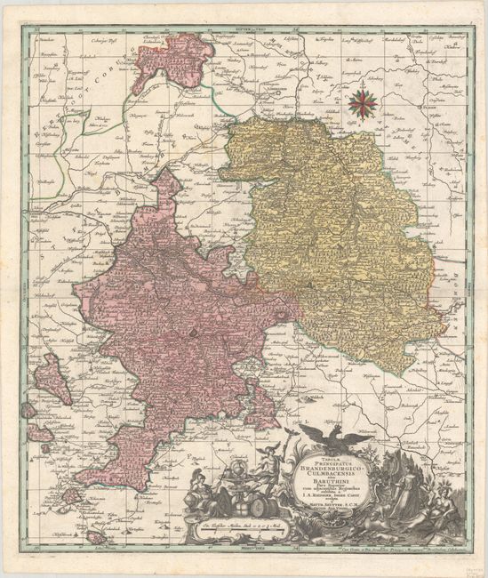
Subject: Eastern Germany
Period: 1740 (circa)
Publication:
Color: Hand Color
Size:
19.6 x 22.8 inches
49.8 x 57.9 cm
Download High Resolution Image
(or just click on image to launch the Zoom viewer)
(or just click on image to launch the Zoom viewer)