Catalog Archive
Auction 206, Lot 465
"Nivernium Ducatus, Gallice Duche de Nevers", Blaeu, (Family)
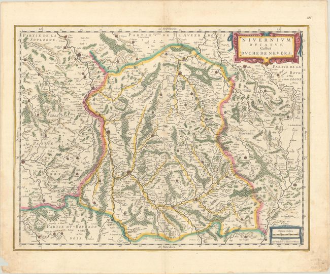
Subject: Central France
Period: 1635 (published)
Publication: Novus Atlas
Color: Hand Color
Size:
19.8 x 15.1 inches
50.3 x 38.4 cm
Download High Resolution Image
(or just click on image to launch the Zoom viewer)
(or just click on image to launch the Zoom viewer)