Catalog Archive
Auction 206, Lot 459
"Regni Galliae seu Franciae et Navarrae Tabula Geographica...", Homann Heirs
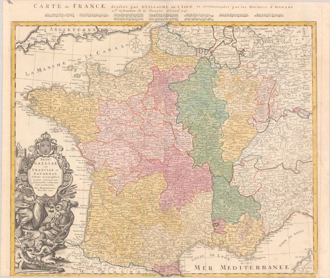
Subject: France
Period: 1741 (dated)
Publication: Atlas Mapparum Geographicarum Generalium...
Color: Hand Color
Size:
22.9 x 19.1 inches
58.2 x 48.5 cm
Download High Resolution Image
(or just click on image to launch the Zoom viewer)
(or just click on image to launch the Zoom viewer)