Catalog Archive
Auction 206, Lot 430
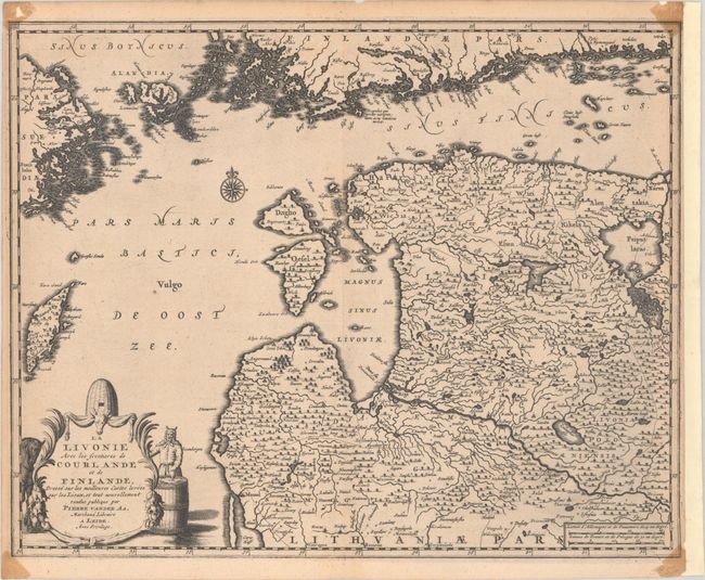
"La Livonie avec les Frontieres de Courlande et de Finlande, Dresse sur les Meilleures Cartes Levees sur les Lieux...", Aa, Pieter van der
Subject: Baltic, Latvia & Estonia
Period: 1719 (circa)
Publication: Voyages Tres-Curieux et Tres-Renommez Faits en Moscovie, Tartarie et Perse
Color: Black & White
Size:
13.7 x 11.4 inches
34.8 x 29 cm
Download High Resolution Image
(or just click on image to launch the Zoom viewer)
(or just click on image to launch the Zoom viewer)