Catalog Archive
Auction 206, Lot 417
"Scandinavien oder des Konigreich Danemark Norwegen, Sueden, und Lapland...", Croix, F. de la
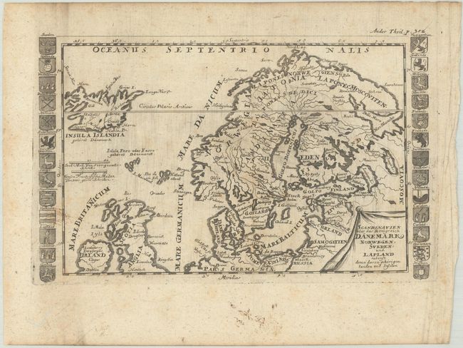
Subject: Northern Europe
Period: 1697 (published)
Publication: Geographia Universalis
Color: Black & White
Size:
9 x 5.8 inches
22.9 x 14.7 cm
Download High Resolution Image
(or just click on image to launch the Zoom viewer)
(or just click on image to launch the Zoom viewer)