Subject: Oxford, England
Period: 1705 (published)
Publication:
Color: Black & White
Size:
19.1 x 20 inches
48.5 x 50.8 cm
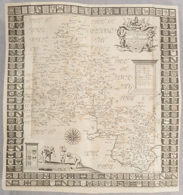
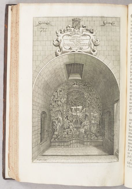
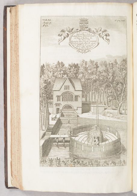
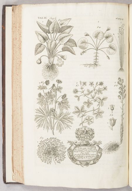
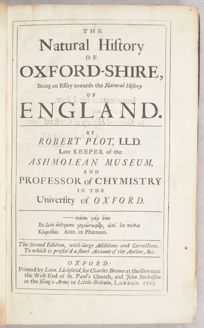
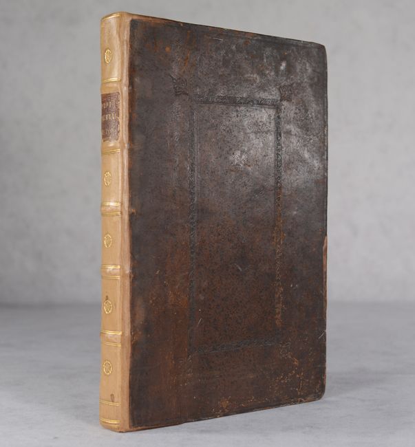
This is the second edition of Robert Plot's comprehensive natural history, which he undertook "at first for my own Pleasure, the Subject of it being so pleasant, and of so great Variety, that it surprized [sic] me to think how many Learned Ages had past without so much as ever attempting that of Nature or Arts." Chapters include the Heavens, Waters, Earths, Stones, Formed Stones, Plants, "Brutes" (animals), Men and Women, Arts, and finally Antiquities. The volume is well-illustrated with 15 (of 16) full-page plates as well as a folding Map of Oxfordshire (19.2 x 19.9") that was lavishly engraved by Michael Burghers, who was the engraver to Oxford University. The map presents the entire county and locates towns, market towns, parishes, ancient forts and houses, churches, roads, rivers, and more. It is surrounded by an attractive armorial border with family names that are numbered and keyed to the map. The map is further adorned by a decorative title cartouche and a scene at bottom of putti using various mapping instruments. Printed by Leon. Lichfield in Oxford for Charles Brome and John Nicholson in London. Rebacked over contemporary paneled leather boards.
References:
Condition: B+
The folding map is very good with some light scattered foxing. Text and plates are clean and tight. Rebacked with new endpapers over original boards, which have some light scuffs and shelf wear.