Catalog Archive
Auction 206, Lot 401
"A New Map of London, and the Adjacent Villages Including the New Streets and Public Buildings. Corrected to 1836"
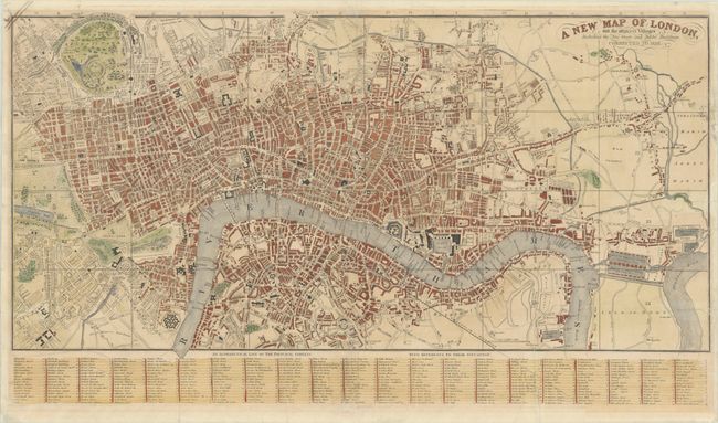
Subject: London, England
Period: 1836 (dated)
Publication:
Color: Hand Color
Size:
28.6 x 16.1 inches
72.6 x 40.9 cm
Download High Resolution Image
(or just click on image to launch the Zoom viewer)
(or just click on image to launch the Zoom viewer)