Subject: Ancient World
Period: 1566 (circa)
Publication: Biblia
Color: Black & White
Size:
6.1 x 4.4 inches
15.5 x 11.2 cm
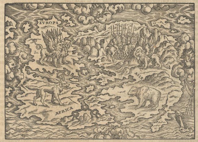
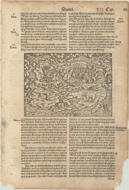
This unusual little map is also known as the Wittenberg world map. It represents Daniel's interpretation of King Nebuchadnezzar's dream. This prophecy from Chapter 7 of the book of Daniel speaks of "the four winds of the heaven … and four great beasts [which] came up from the sea." The barely recognizable continents of the Old World - Europe, Asia and Africa - are depicted with the four beasts of Daniel's dream. The world is surrounded by wind heads in a blustery sky and a stormy ocean. Theologians at Wittenberg interpreted this dream as a foretelling of the victory of the Turks at the Battle of Mohacs in 1526, and the image remained popular for several decades thereafter. The map first appeared in a commentary on the prophet Daniel by Martin Luther in circa 1529, and is often attributed to the printer Hans Lufft. This example is considered the 9th version of the map, which was engraved by Sigmund Feyerabend, whose initials "SHF" appear at the southern tip of Africa. This woodblock version shows changes to the shapes of the continents and a galleon added at bottom right. From a German bible published by George Rab and Feyerabend between 1566-96. On a sheet of German text measuring 8.9 x 13.1".
References: cf. Shirley #65 (A).
Condition: B+
A nice impression with light dampstaining and soiling mostly outside the map image. Thee are small chips and wormtracks confined to the margins, well away from map image.