Catalog Archive
Auction 206, Lot 387
"Magna Britannia et Hibernia Secundum Kitchen et Dorret... / Karte von Grossbritannien und Irland nach Kitchen und Dorret...", Walch, Johannes
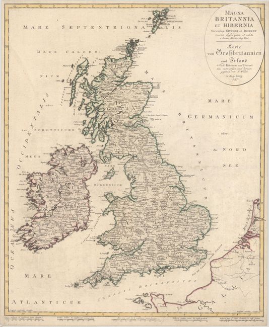
Subject: Britain
Period: 1797 (dated)
Publication:
Color: Hand Color
Size:
18.3 x 21.8 inches
46.5 x 55.4 cm
Download High Resolution Image
(or just click on image to launch the Zoom viewer)
(or just click on image to launch the Zoom viewer)