Catalog Archive
Auction 206, Lot 386
"Les Isles Britanniques ou les Royaumes d'Angleterre, d'Ecosse et d'Irlande. Divisees par Provinces", Le Rouge, George Louis
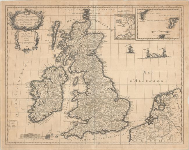
Subject: Britain
Period: 1744 (dated)
Publication: Atlas General
Color: Black & White
Size:
24.9 x 19.4 inches
63.2 x 49.3 cm
Download High Resolution Image
(or just click on image to launch the Zoom viewer)
(or just click on image to launch the Zoom viewer)