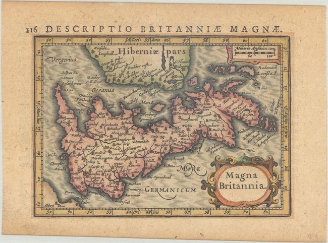
Subject: Britain
Period: 1618 (circa)
Publication: Tabularum Geographicarum Contractarum Libri Septem
Color: Hand Color
Size:
5.4 x 3.9 inches
13.7 x 9.9 cm
While the majority of the maps for Bertius' geographical treatise were engraved by Jodocus Hondius Jr. after Mercator, the individual maps of England, Scotland and Ireland were engraved by Salomon Rogiers after John Speed.  This map is oriented with north to the right and depicts England, Wales, Scotland and a portion of Ireland, with great detail of towns and rivers throughout.  Latin text on verso.
See also lot 734 for Geoffrey King's Miniature Antique Maps that describes this map.
References: Shirley (BI to 1650) #348; King (3rd ed.) #1616; Van der Krogt (Vol. III) #5050:342.
Condition: B+
A crisp impression on a lightly toned sheet with a fleur-de-lis watermark.