Catalog Archive
Auction 206, Lot 363
NO RESERVE
"Carte du Detroit de Le Maire", Bellin, Jacques Nicolas
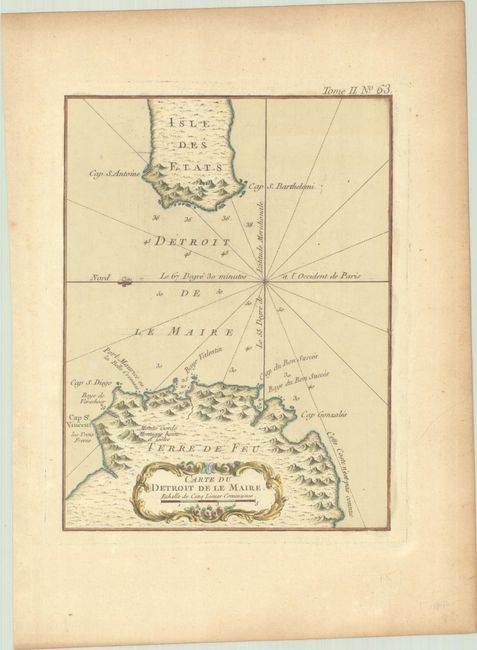
Subject: Le Maire Strait
Period: 1764 (published)
Publication: Le Petit Atlas Maritime
Color: Hand Color
Size:
6.6 x 8.7 inches
16.8 x 22.1 cm
Download High Resolution Image
(or just click on image to launch the Zoom viewer)
(or just click on image to launch the Zoom viewer)