Catalog Archive
Auction 206, Lot 328
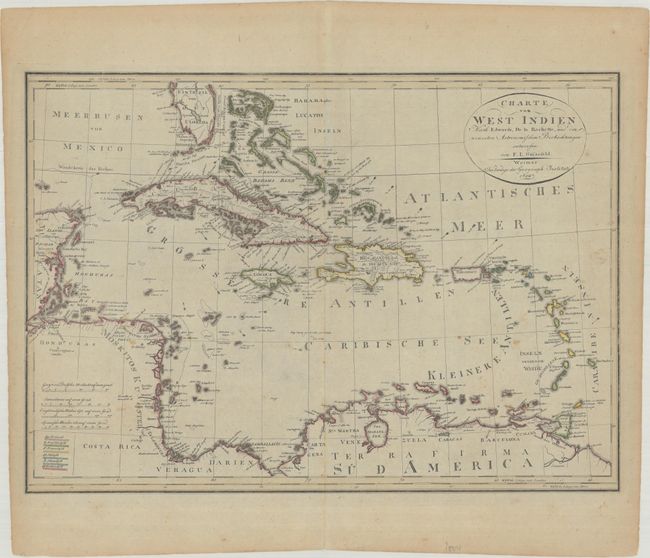
"Charte von West Indien nach Edwards, de la Rochette, und den Neuesten Astronomischen Beobachtungen...", Gussefeld, Franz Ludwig

Subject: Caribbean
Period: 1804 (dated)
Publication:
Color: Hand Color
Size:
24.1 x 17.1 inches
61.2 x 43.4 cm
Download High Resolution Image
(or just click on image to launch the Zoom viewer)
(or just click on image to launch the Zoom viewer)

