Subject: Yellowstone National Park, Wyoming
Period: 1889 (published)
Publication:
Color: Printed Color
Size:
19.1 x 24 inches
48.5 x 61 cm
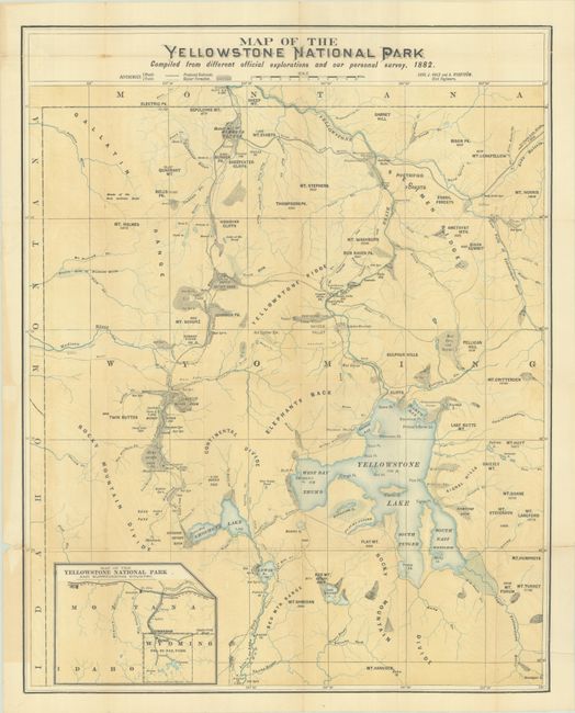
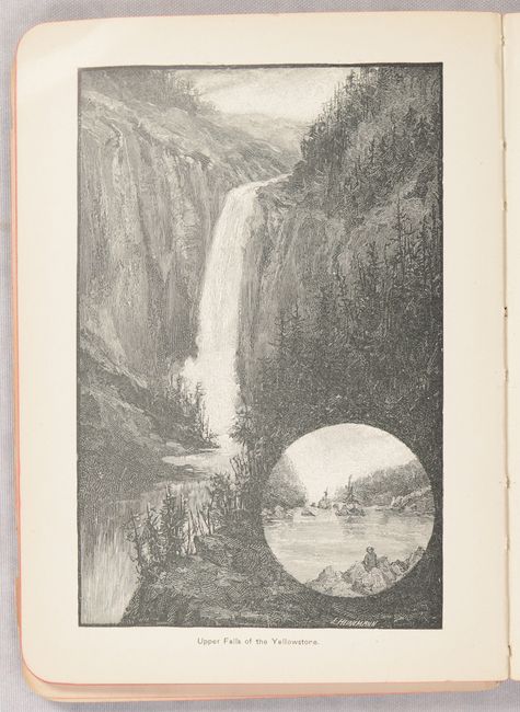
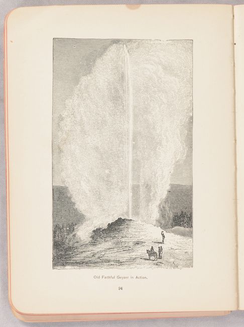
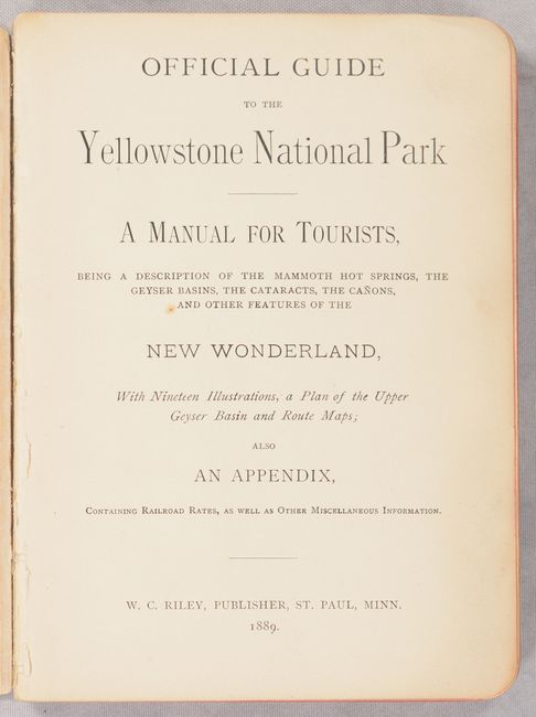
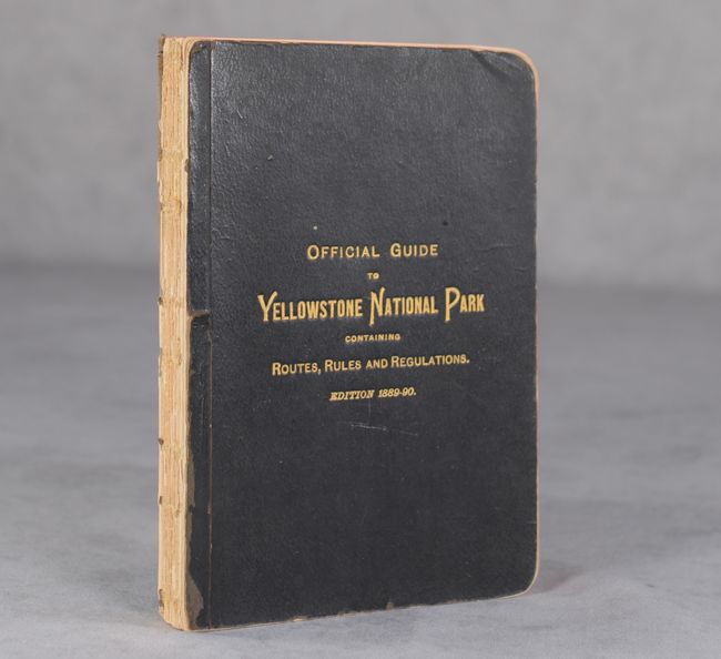
This 140-page guidebook includes an attractive folding map in a rear pocket with useful tourist information including stage roads, wagon roads, tourist sites and hotels. It locates the Upper, Shoshone, Gibbon, and Heart Lake Geyser Basins, Mud Geysers, Mammoth Hot Springs, and much more. Topography is illustrated by an unusual and pleasing form of contoured shading that enhances interpretation for the tourist. Includes an inset titled Map of the Yellowstone National Park and Surrounding Country, which depicts the road system and the connection to the Northern Pacific Railroad in central Montana, the most common method of travel to the park. Surveyed and drawn by Carl J. Hals and A. Rydstrom. Blevins calls this map "a significant private publication." The text describing this "New Wonderland" is augmented by 19 single-page illustrations and a single-page map of the Upper Geyser Basin. Published by W.C. Riley in St. Paul, MN. Stiff black paper covers (5.0 x 6.7") with gilt title on the front cover.
References: Blevins (Wyoming) #459.
Condition: B
The folding map has archival repairs to several short fold separations and to a 1 x 2" chip at top left. There is minute loss along a few fold junctions at top and several short repaired edge tears confined to the margins. Guidebook has pleasant light toning and the front cover is detached. Spine backstrip has perished.