Subject: Cleveland, Ohio
Period: 1905 (dated)
Publication:
Color: Printed Color
Size:
40.5 x 29.3 inches
102.9 x 74.4 cm
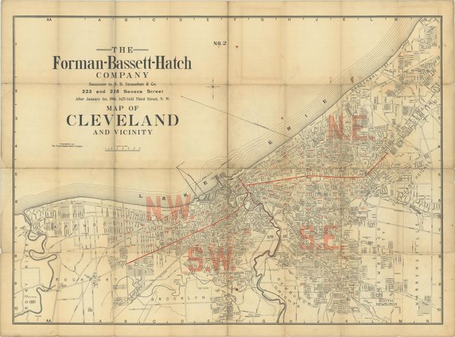
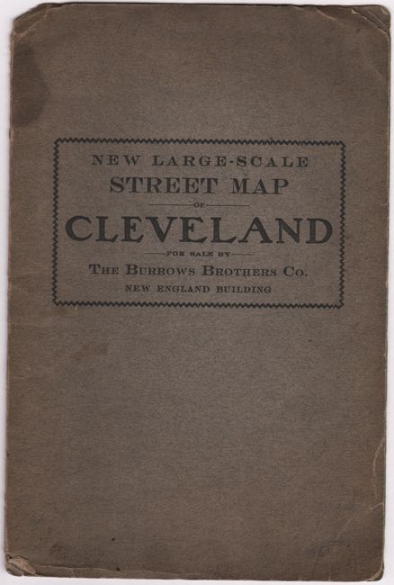
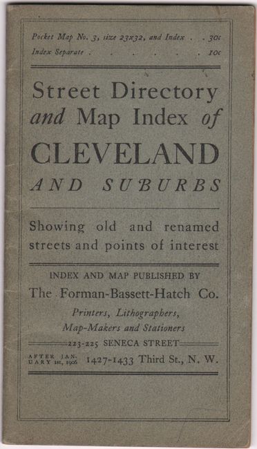
This large map of Cleveland presents the street-grid pattern of the city, which is divided into quadrants. It further identifies parks, cemeteries, lakes, rivers, race tracks, railroads, and more. The map extends to include Lakewood, Rockport, Cleveland Heights, East Cleveland, and others. Published by the Forman-Bassett-Hatch Company. Lays into gray printed wrappers (5.7 x 8.5") with title "New Large-Scale Street Map of Cleveland, For Sale by the Burrows Brothers Co., New England Building.” The map is accompanied by a 49-page street index with its own wrappers (3.8 x 6.6"). This is an early edition of the map, which was published into the late 1920s.
References:
Condition: B
Issued folding with light soiling, staining, and numerous fold separations that have been mostly closed on verso with archival tape. There is some minor loss at the fold junctions. Map lays into paper wrappers, which have some minor chipping and staining. Accompanying street index has moderately toned contents with only minor wear to the wrappers.