Catalog Archive
Auction 206, Lot 25
NO RESERVE
"The World Agreeable to the Last Discoveries in the South Seas &c.", Dilly, Charles
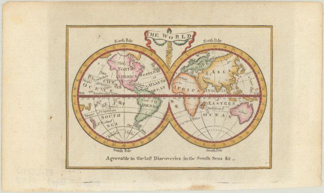
Subject: World
Period: 1797 (circa)
Publication: A New and Easy Introduction to Universal Geography
Color: Hand Color
Size:
3.9 x 2.8 inches
9.9 x 7.1 cm
Download High Resolution Image
(or just click on image to launch the Zoom viewer)
(or just click on image to launch the Zoom viewer)