Catalog Archive
Auction 206, Lot 235
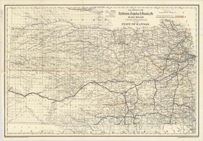
"Map Showing the Atchison, Topeka & Santa Fe Rail Road and Its Auxiliary Roads in the State of Kansas", Colton, G.W. & C.B.
Subject: Kansas
Period: 1886 (dated)
Publication:
Color: Hand Color
Size:
23.6 x 16.1 inches
59.9 x 40.9 cm
Download High Resolution Image
(or just click on image to launch the Zoom viewer)
(or just click on image to launch the Zoom viewer)