Subject: Kansas
Period: 1857 (dated)
Publication:
Color: Hand Color
Size:
39.5 x 39.5 inches
100.3 x 100.3 cm
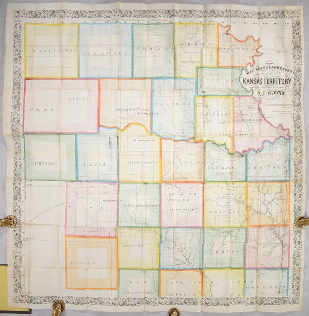
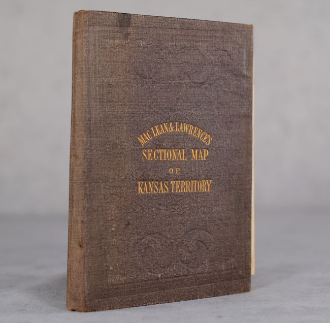
This remarkable map of eastern Kansas Territory was compiled by C.P. Wiggin based upon U.S. surveys. It shows a total of 31 primitive counties with surveying work mostly complete in about half the counties and little to none in the others. The map locates early towns and settlements including the territorial capital at Lecompton, the Santa Fe Trail, St. Joseph & California Trail, and several railroads extending south and west from Kansas City including the Galveston & Kansas City, Santa Fe & Kansas City, and Kansas Valley railroads. Along the Kansas River between Topeka and Lecompton are 23 numbered parcels, in reference to the "half breed tracts" given to each of the 23 mixed-race inhabitants. Numerous Indian reservations are intertwined within these early counties including lands designated for the Kickapoo, Delaware, Pottawattamie, Kansas, Sac and Fox, and "New York Indian Lands" in the south. This large region was part of Indian Territory per the Indian Removal Act of 1830 until Kansas became a territory in 1854. These Indian lands would eventually be ceded back to the U.S. government to make way for settlement and transcontinental railroads. Drawn on a scale of about 4 miles per inch. Published by William Schuchman & Bro. Lith. in Pittsburgh. Folds into brown cloth boards with gilt title on the front cover.
This map makes for an interesting comparison to the Jewett map of 1856 (lot 236), which highlighted the conflicts in the region. Here the reader is presented with the land opportunity without the political strife and violence of Bleeding Kansas.
References: Rumsey #2378; Phillips (Maps) p. 346; Streeter #3904.
Condition: A
Contemporary color on a clean sheet with a number of short splits at the fold junctions. Covers have minor wear. This example is in overall remarkable condition considering its size and intended use.