Current Auction
Lot 207
Current Auction

"Map of Palo Alto and Vicinity Compiled from Official Records of Santa Clara and San Mateo Counties - Official Map of the Chamber of Commerce"

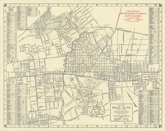
Subject: Palo Alto, California

Period: 1950 (circa)

Publication:

Color: Black & White

Size:
16.4 x 12.9 inches
41.7 x 32.8 cm
Download High Resolution Image
(or just click on image to launch the Zoom viewer)

This was the official Chamber of Commerce map of Palo Alto. It extends to show Atherton, Menlo Park, and Stanford University. The map is flanked at left and right with a comprehensive street index. Public schools are identified by little flags. "Compliments of Palo Alto Chamber of Commerce and Civic Association," printed by Slonaker's Printing House. Although he is not credited, this map is likely the work of cartographer C.E. Hunt.

References:

Condition: A+

Fine, issued folding.

Estimate: $110 - $140

Price: $80

Bid Increments
$50 - $99$5
$100 - $249$10
$250 - $499$25
$500 - $999$50
Terms & Conditions