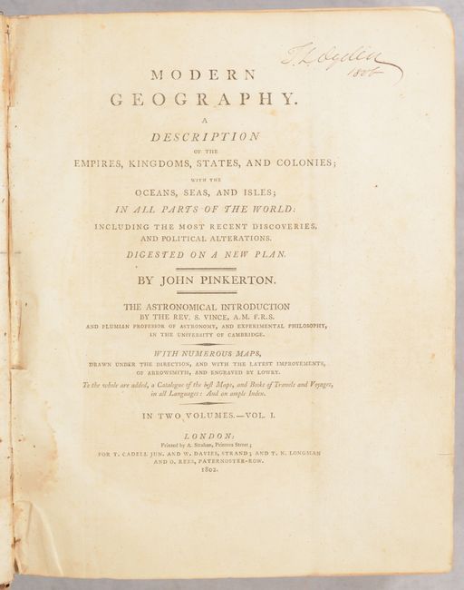
Subject: Geography Books
Period: 1802 (published)
Publication:
Color: Black & White
Size:
9 x 11.5 inches
22.9 x 29.2 cm
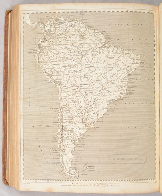
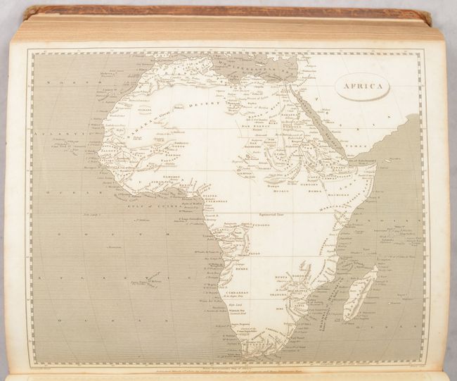
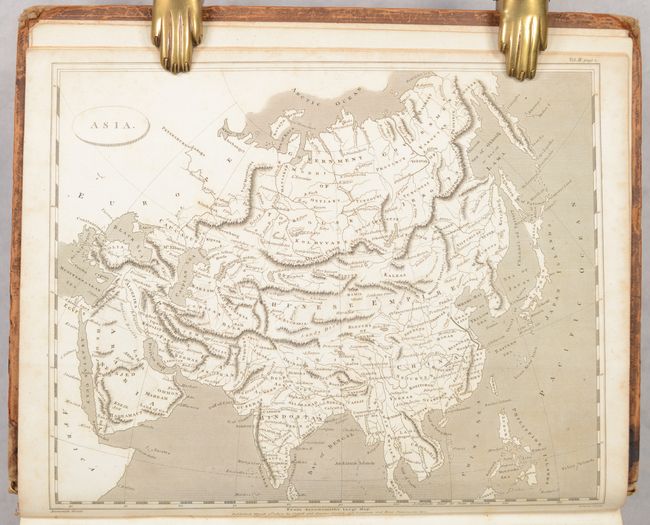
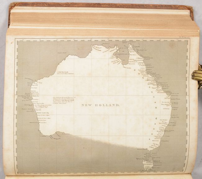
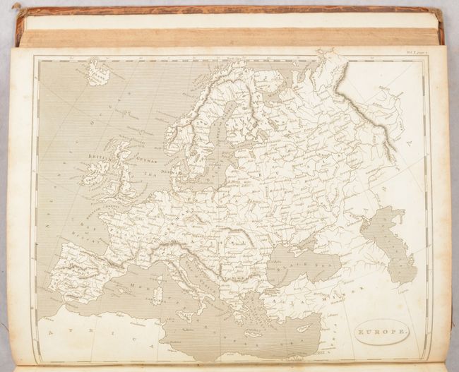
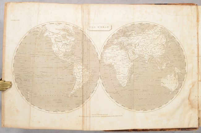
This two-volume quarto set features 45 maps by Aaron Arrowsmith including the world (2), Europe (21), Asia (8), Africa (6), Australia (2), and the Americas (6). Three maps are folding, including two of the world and Central Asia, and the remainder are single-page maps. Of particular interest are the maps showing the evolving geographic knowledge and political landscape in North America including:
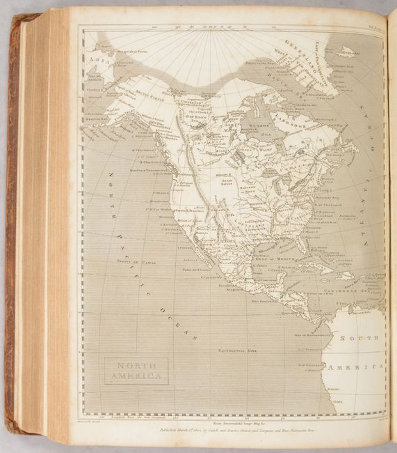
North America. This small map shows an unnamed United States extending to the Mississippi River with a large Louisiana to its west. The map is pre-Lewis & Clark with several possible sources for the Missouri River stopping just short of the Rocky Mountains, which extend far into northern Canada. Alaska is still in a rudimentary form and notations in far northern Canada indicate the sea was seen by Hearn (1771) and MacKenzie (1789).
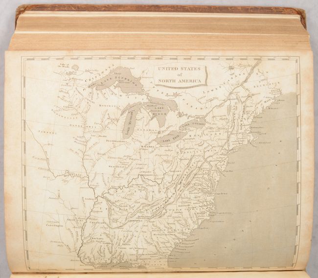
United States of North America. A reduced version of Arrowsmith's important map of the eastern United States. Sixteen states are depicted with Georgia extending to the Mississippi River. The map provides very good detail of the Indian nations and forts on the western frontier.
British Possessions in America. This map encompasses all of Canada with a possible Northwest Passage via Baffin Bay to the Bering Strait marked as "doubtful." In the far north, this map also notes that the sea was seen by Hearne and MacKenzie in 1771 and 1789 respectively. Numerous Indian tribes are located, along with rivers, lakes and the Stoney Mountains.
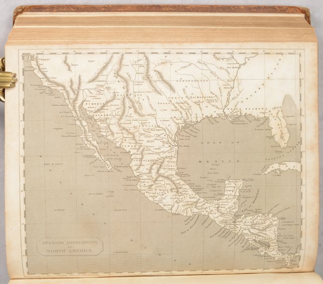
Spanish Dominions in North America. This map shows an oddly shaped western coast of Mexico and names Texas and Cenis. It locates Santa Fe, New Orleans, St. Louis, San Antonio, and Puerto S. Francisco. Florida is divided into West and East. The map is filled with numerous place names, provinces, topography, missions, towns, forts, and Indian tribes. The relief is shown by hachure and the seas are fully engraved with closely placed ruled lines.
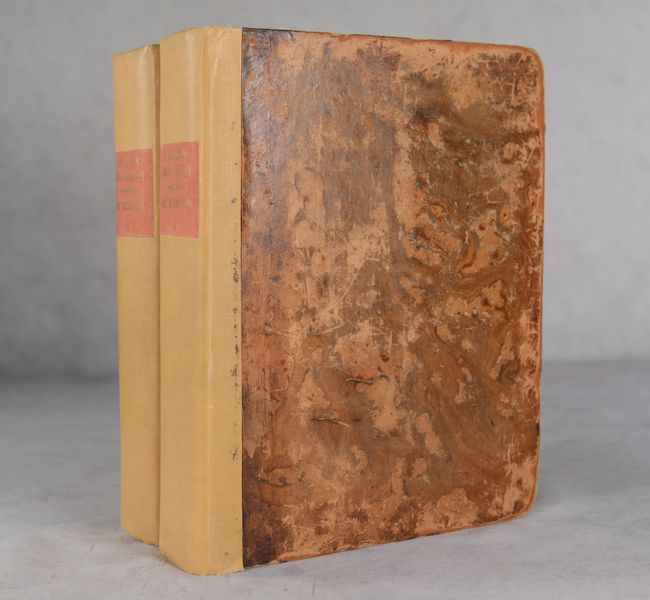
Each volume begins with a folding world map - volume 1 with a double-hemisphere map and volume 2 with one on Mercator's Projection. 1,501 total pages (v1 - 666 pages, v2 - 835 pages). Rebacked in cloth over contemporary leather boards.
References:
Condition: B
The maps are good to mostly very good with some scattered foxing mostly along the sheet edges. The three folding maps (2 world maps and Central Asia) are good (B) with scattered foxing, some dampstaining, and minor creasing. All but a few of the single-page maps are very good (B+). Text is clean and bright. The bindings have been rebacked at some point, though the front cover to volume 1 is starting (along with title page and world map) and the cover to volume 2 is detached. Covers are scuffed and worn, especially along the edges.