Catalog Archive
Auction 205, Lot 623
"Africae Pars Australis", Scherer, Heinrich
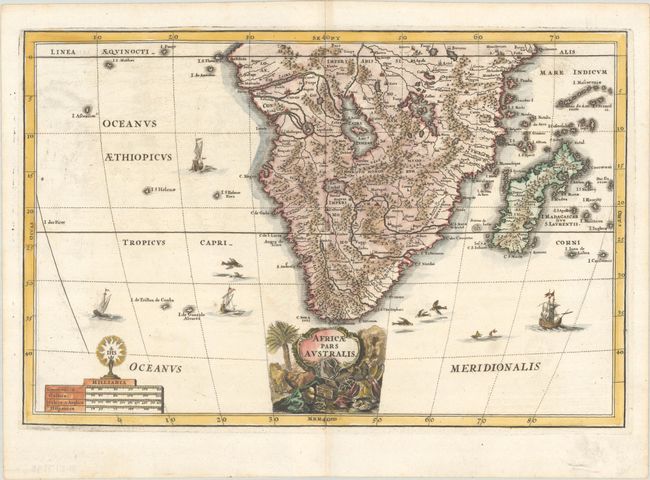
Subject: Southern Africa
Period: 1703 (published)
Publication: Atlas Novus
Color: Hand Color
Size:
13.8 x 9.1 inches
35.1 x 23.1 cm
Download High Resolution Image
(or just click on image to launch the Zoom viewer)
(or just click on image to launch the Zoom viewer)