Catalog Archive
Auction 205, Lot 546

"Maris Mediterranei Longitudo et Latitudo cum suis Provinciis Circumvicinis Geographice Exhibita", Scherer, Heinrich

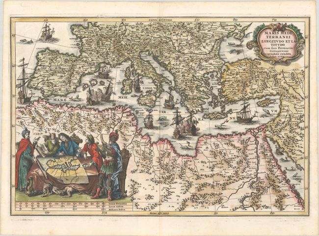
Subject: Mediterranean

Period: 1700 (dated)

Publication: Atlas Novus

Color: Hand Color

Size:
13.9 x 9.3 inches
35.3 x 23.6 cm
Download High Resolution Image
(or just click on image to launch the Zoom viewer)

This map centers on the Mediterranean Sea, which is filled with sea monsters and galleons, several engaged in battle. The map depicts the regions surrounding the Mediterranean, showing key rivers, cities and mountain ranges. The decorative title cartouche fills the Black Sea, and a vignette in northern Africa depicts European, Turkish and African men discussing a map of the Mediterranean, while a dog snarls at a cat beneath the table. Date 1700 but published in 1703.

References: Shirley (BL Atlases) T.SHER-1a #62.

Condition: A

A sharp impression on a bright sheet with a few spots of foxing confined to the blank margins.

Estimate: $275 - $350

Sold for: $700

Closed on 9/10/2025

Archived