Catalog Archive
Auction 205, Lot 520
"Danubii Fluminis (hic ab Urbe Belgrado, per Mare Nigrum usq Constantinopolim Defluentis Exhibiti) Pars Infima, in qua Transylvania, Walachia, Moldavia, Bulgaria, Servia, Romania et Bessarabia...", Homann, Johann Baptist
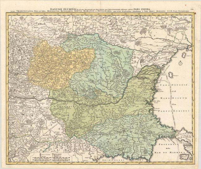
Subject: Eastern Balkans
Period: 1720 (circa)
Publication:
Color: Hand Color
Size:
23.1 x 18.7 inches
58.7 x 47.5 cm
Download High Resolution Image
(or just click on image to launch the Zoom viewer)
(or just click on image to launch the Zoom viewer)