Current Auction
Lot 501
Current Auction

"Carte de la Lithuanie Russienne qui Comprend les Palatinats de Livonie, de Witepsk, de Miscislaw, et une Partie de Ceux de Polock et de Minsk...", Santini, P.

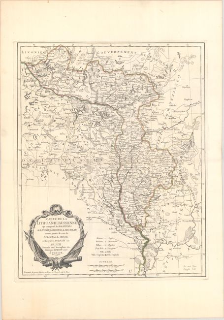
Subject: Eastern Europe, Belarus

Period: 1776 (dated)

Publication:

Color: Hand Color

Size:
17.4 x 21.8 inches
44.2 x 55.4 cm
Download High Resolution Image
(or just click on image to launch the Zoom viewer)

This finely detailed map is copied from the Homann Heirs's Charte von Russisch Litauen..., published just a year earlier. Centered on present-day Belarus, the map spans from Vilnius east to Smolensk, and from Opochka south to Kyiv. It was published in the aftermath of the First Partition of the Polish-Lithuanian Commonwealth (1772) and focuses on "Russian Lithuania," the lands ceded to Russia in the partition. The various political divisions are labeled and carefully delineated. A key in Latin and French identifies hamlets, monasteries, villages, towns and cities, and capital cities. The strapwork title cartouche has a militaristic theme. Published in Venice.

References:

Condition: A

A sharp impression with contemporary outline color on a sheet with "A S" and three crescent moons watermarks.

Estimate: $200 - $230

Price: $150

Bid Increments
$100 - $249$10
$250 - $499$25
$500 - $999$50
$1,000 - $2,499$100
Terms & Conditions