Catalog Archive
Auction 205, Lot 492
"Partie Septentrionale du Cercle d'Autriche qui Comprend l'Archiduche d'Autriche, Divise en ses huit Quartiers; et la Haute Partie du Duche de Stirie", Robert de Vaugondy, Didier
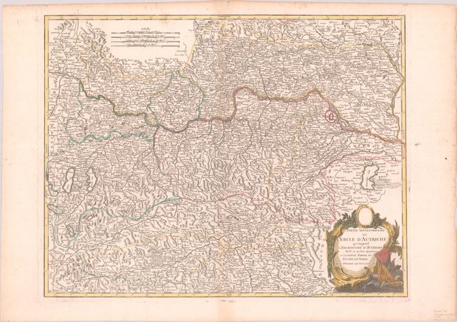
Subject: Austria
Period: 1755 (circa)
Publication:
Color: Hand Color
Size:
24.4 x 18.9 inches
62 x 48 cm
Download High Resolution Image
(or just click on image to launch the Zoom viewer)
(or just click on image to launch the Zoom viewer)