Catalog Archive
Auction 205, Lot 467
"Rheni ac Mosellae Tract cum Franconia", Scherer, Heinrich
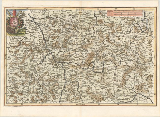
Subject: Western & Central Germany
Period: 1699 (dated)
Publication: Atlas Novus
Color: Hand Color
Size:
14.2 x 9.3 inches
36.1 x 23.6 cm
Download High Resolution Image
(or just click on image to launch the Zoom viewer)
(or just click on image to launch the Zoom viewer)