Catalog Archive
Auction 205, Lot 458
"E Cyclis Denis Unitis Nascitur Unum Germanu Imperium, Nulla quod Arma Timet", Scherer, Heinrich
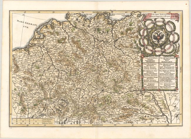
Subject: Central Europe, Germany
Period: 1703 (published)
Publication: Atlas Novus
Color: Hand Color
Size:
13.7 x 9.2 inches
34.8 x 23.4 cm
Download High Resolution Image
(or just click on image to launch the Zoom viewer)
(or just click on image to launch the Zoom viewer)