Catalog Archive
Auction 205, Lot 445
"Le Theatre de la Guerre dans les Sevennes, le Languedoc, et le Pays aux Environs, ou sont Exactement Observes les Chemins &c...", Mortier, Pierre
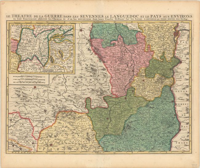
Subject: Southeastern France
Period: 1705 (circa)
Publication:
Color: Hand Color
Size:
23.4 x 16.9 inches
59.4 x 42.9 cm
Download High Resolution Image
(or just click on image to launch the Zoom viewer)
(or just click on image to launch the Zoom viewer)