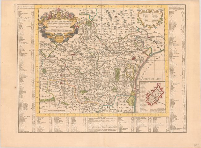
Subject: Southern France
Period: 1704 (dated)
Publication:
Color: Hand Color
Size:
23.9 x 18.2 inches
60.7 x 46.2 cm
This beautifully engraved map of the Narbonne region details the churches, parishes, abbeys, roads, and villages. It includes the walled cities of Narbonne, Beziers, Carcassonne, Alet-les-Bains, and more. An inset plan of the fortified city of Narbonne is keyed to locate 43 sites of interest. The map is laid out in grid form and is set in a surrounding index table. Compiled by Guillaume Lafont. Dedicated to Charles le Goux de la Berchere, the Archbishop of Narbonne.
References: Rumsey #4638.037.
Condition: A
A nice impression on a faintly toned sheet with a large watermark of a Maltese cross encircled in rosary beads. There is a small paper flaw in the left blank margin.