Catalog Archive
Auction 205, Lot 441
"Partie Meridionale du Comte de Bourgogne ou Franche-Comte, ou sont les Bailliages de Orgelet, Lons-le-Saunier, Poligny, Arbois, Salins, Pontarlier, les Terres de St. Claude, et Partie des Bailliages de Dole et Dornans", Robert de Vaugondy
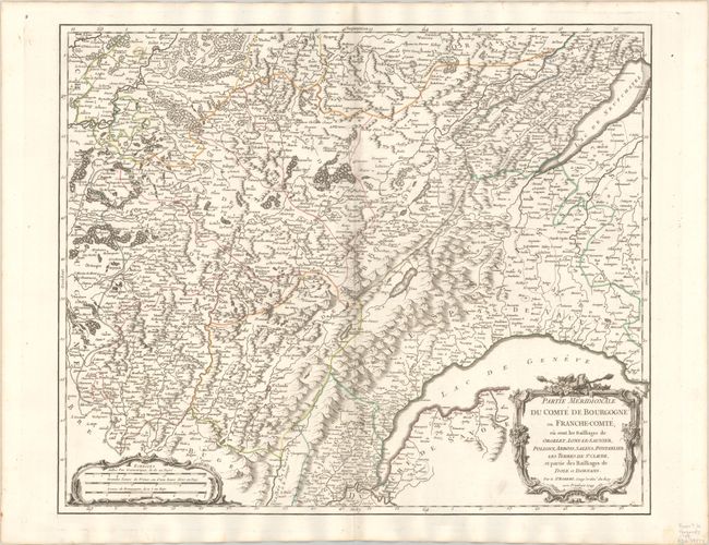
Subject: Eastern France
Period: 1749 (dated)
Publication: Atlas Universel
Color: Hand Color
Size:
22.3 x 18.5 inches
56.6 x 47 cm
Download High Resolution Image
(or just click on image to launch the Zoom viewer)
(or just click on image to launch the Zoom viewer)