Catalog Archive
Auction 205, Lot 435

"La Champagne Divisee par Elections Suivant les Dernieres Observations", Le Rouge, George Louis

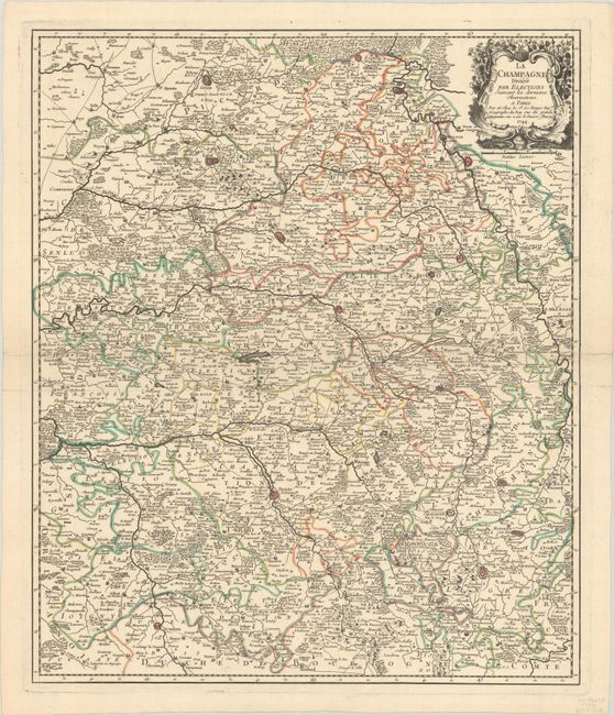
Subject: Northern France

Period: 1744 (dated)

Publication:

Color: Hand Color

Size:
19.1 x 22.8 inches
48.5 x 57.9 cm
Download High Resolution Image
(or just click on image to launch the Zoom viewer)

This delicately engraved map of the famous Champagne region is centered approximately on Chalons-en-Champagne. The map extends north to Guise and Sedan and south to Auxerre and Langres. It depicts roads, hundreds of villages and towns, and nice topographical detail. Embellished with a fine rococo-style cartouche entwined with grapevines.

References:

Condition: A

A sharp impression with contemporary outline color on a bright, watermarked sheet with some minor creasing.

Estimate: $140 - $170

Sold for: $120

Closed on 9/10/2025

Archived