Catalog Archive
Auction 205, Lot 430
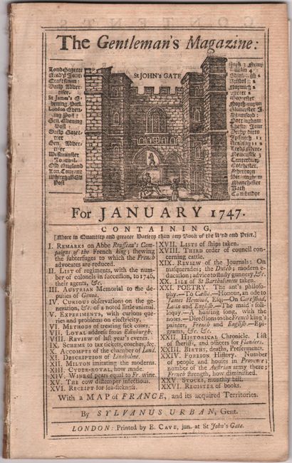
"[Map with Book] France with Its Acquired Territories in Germany, and the Netherlands [with] The Gentleman's Magazine: For January 1747", Jefferys, Thomas
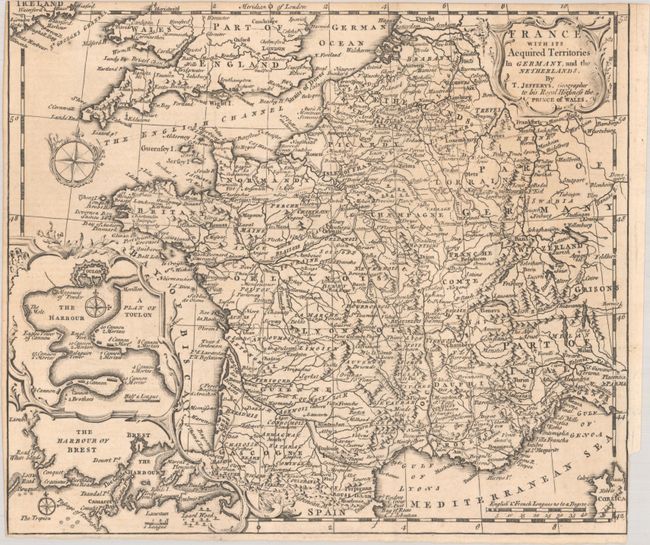
Subject: France
Period: 1747 (published)
Publication:
Color: Black & White
Size:
10.9 x 9.4 inches
27.7 x 23.9 cm
Download High Resolution Image
(or just click on image to launch the Zoom viewer)
(or just click on image to launch the Zoom viewer)