Catalog Archive
Auction 205, Lot 429
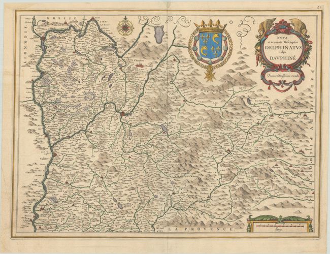
"Nova et Accurata Descriptio Delphinatus Vulgo Dauphine", Jansson, Jan
Subject: France
Period: 1666 (circa)
Publication:
Color: Hand Color
Size:
20.1 x 14.9 inches
51.1 x 37.8 cm
Download High Resolution Image
(or just click on image to launch the Zoom viewer)
(or just click on image to launch the Zoom viewer)