Catalog Archive
Auction 205, Lot 411
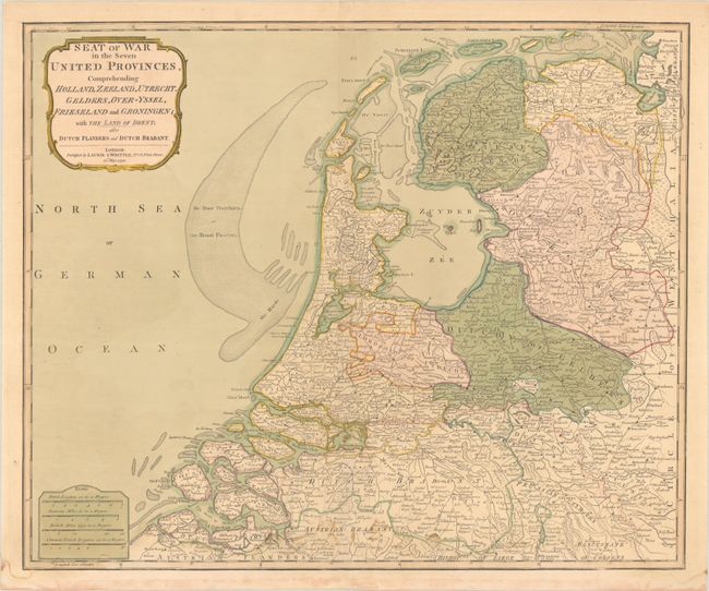
"Seat of War in the Seven United Provinces, Comprehending Holland, Zeeland, Utrecht, Gelders, Over-Yssel, Frieseland and Groningen; with the Land of Drent; Also Dutch Flanders and Dutch Brabant", Laurie & Whittle

Subject: Netherlands
Period: 1794 (dated)
Publication:
Color: Hand Color
Size:
22.6 x 18.7 inches
57.4 x 47.5 cm
Download High Resolution Image
(or just click on image to launch the Zoom viewer)
(or just click on image to launch the Zoom viewer)

