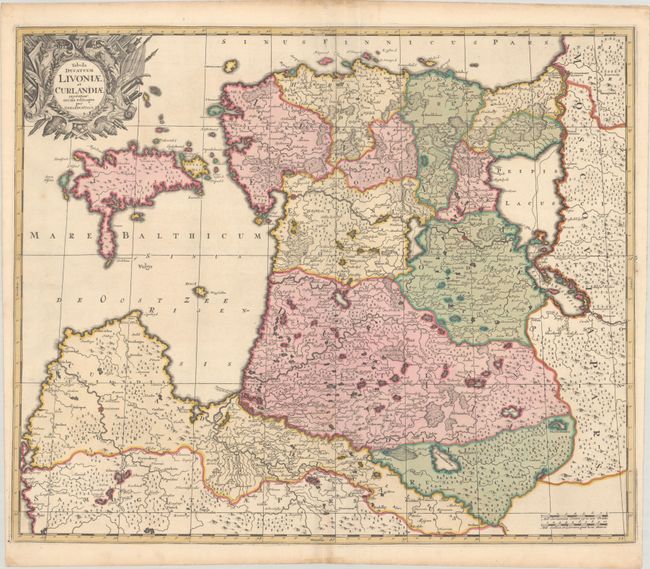
Subject: Baltic, Latvia & Estonia
Period: 1700 (circa)
Publication:
Color: Hand Color
Size:
23.1 x 19.1 inches
58.7 x 48.5 cm
This attractive map of Estonia and Latvia is filled with place names and topographical detail. Oesel Insul (Osel) and Insula Moo (Muhu) are depicted in the Baltic Sea, although Dago is cleverly covered up with a large, decorative armorial cartouche. Lakes Peipis (Peipus) and Plescovicus (Pskovskoe) are prominently depicted. Among the many towns and cities identified are Liepaja, Riga, Parnu, Revel (Tallinn), Derpt (Tartu), and Pskov.
References:
Condition: A
A crisp impression with full contemporary color. There is a tiny wormhole in the border at bottom and light toning confined to the sheet's edges.