Catalog Archive
Auction 205, Lot 396
NO RESERVE
"Sweden, Denmark, Norway and Finland. From the Best Authorities", Dilly & Robinson
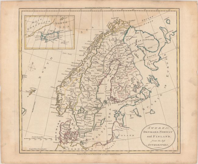
Subject: Scandinavia
Period: 1785 (dated)
Publication: Guthrie's New System of Geography
Color: Hand Color
Size:
14.5 x 13.1 inches
36.8 x 33.3 cm
Download High Resolution Image
(or just click on image to launch the Zoom viewer)
(or just click on image to launch the Zoom viewer)