Catalog Archive
Auction 205, Lot 388
"Comitatus Brechiniae; Breknoke", Blaeu, Johannes
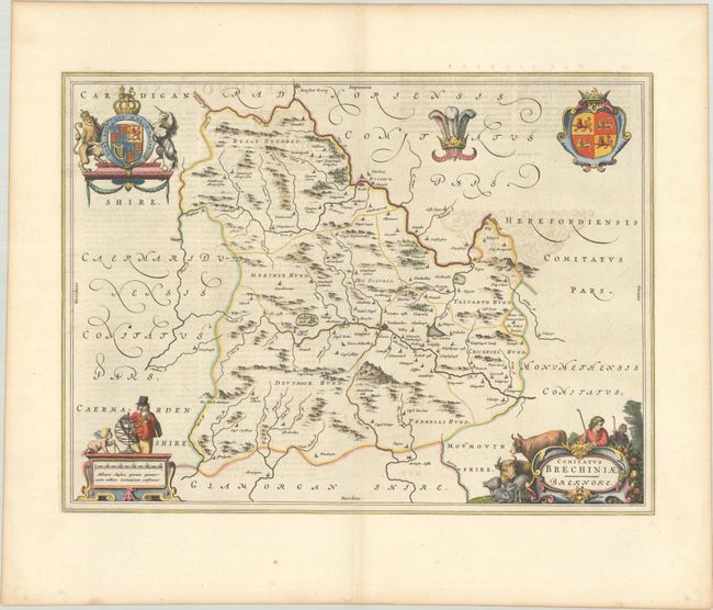
Subject: Southern Wales
Period: 1645 (circa)
Publication: Le Theatre du Monde ou Nouvel Atlas...
Color: Hand Color
Size:
19.9 x 14.8 inches
50.5 x 37.6 cm
Download High Resolution Image
(or just click on image to launch the Zoom viewer)
(or just click on image to launch the Zoom viewer)