Subject: Arctic & Northern Europe
Period: 1584 (published)
Publication: Theatrum Orbis Terrarum
Color: Hand Color
Size:
19.5 x 14.3 inches
49.5 x 36.3 cm
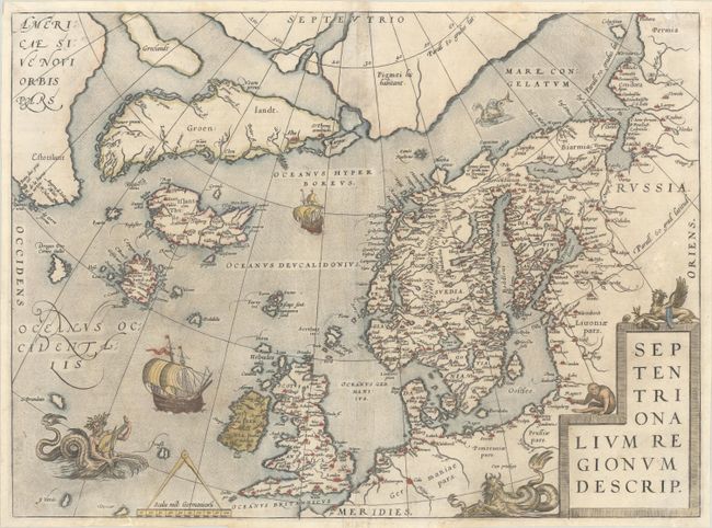
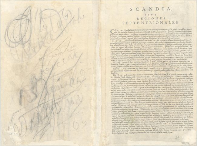
Ortelius based this influential map on the work of earlier authorities including Mercator, Zeno, and Magnus. Of particular interest are the mythical islands of Brasil, Frisland, Drogeo, Icaria, and St. Brendan. Part of Mercator's imaginary polar continent is depicted with a Latin note that it is inhabited by pygmies. Iceland (Islant, Thule) is basically unchanged from Mercator's map of Europe from 1554 with the shape originated by Zeno. Greenland is separated from Europe by a wide sea and a portion of North America appears in the upper left corner with the name Estotilant. The map is adorned with a variety of very inventive creatures including a half-man, half-sea creature playing a lute. This is the fourth state with re-engraved ships and figures. Latin text on verso with page number 90.
References: Burden #40; Ginsberg #24; Van den Broecke #160.4.
Condition: B+
A sharp impression on a sheet with the coat of arms watermark of Claude Denise III. The sheet is backed in archival tissue with professional repairs to centerfold separations along the lower centerfold and a short edge tear at bottom. Minor marginal chipping at bottom have been reinforced with archival materials. There is minor soiling and dampstaining, a few small abrasions near the top, and a 0.5" section of neatline and part of the "N" in "Septentrio" replaced in facsimile. Heavy pencil markings on verso do not show through on recto.