Subject: Western South America, Peru
Period: 1683-1780 (circa)
Publication:
Color: Hand Color
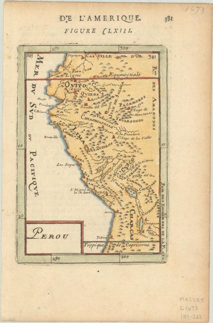
A. Perou, by Alain Manesson Mallet, from Description de l'Univers, circa 1683 (3.9 x 5.6"). Simple miniature map with good detail of towns and villages. Shown are the towns of Quito, Lima and Caracas. Condition: Good impression on hand laid paper with light toning along the edges and hinge tape remnants on verso.
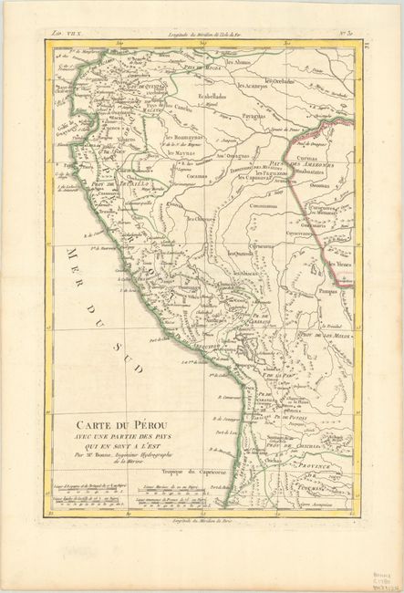
B. Carte du Perou avec une Partie des Pays qui en sont a l'Est, by Rigobert Bonne, circa 1780 (8.4 x 12.6"). Attractive regional map of the western coast of South America extending from Ecuador, through Peru and present-day Bolivia, into northern Chili. There is nice detail with the locations of numerous missions and many other place names throughout. Condition: A crisp impression on a bright sheet with a hint of offsetting and a remnant of hinge tape on verso.
References:
Condition: A
See description above.