Catalog Archive
Auction 205, Lot 345
NO RESERVE
"[Lot of 2] Bresil et Pays des Amazones 1re Feuille [and] Carte de la Partie Meridionale du Bresil, avec les Possessions Espagnoles Voisines qui en sont a l'Ouest", Bonne, Rigobert
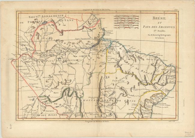
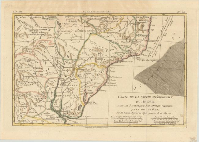
Subject: Brazil
Period: 1780 (circa)
Publication: Atlas de Toutes les Parties Connues du Globe Terrestre
Color: Hand Color
Size:
14.6 x 9.3 inches
37.1 x 23.6 cm
Download High Resolution Image
(or just click on image to launch the Zoom viewer)
(or just click on image to launch the Zoom viewer)