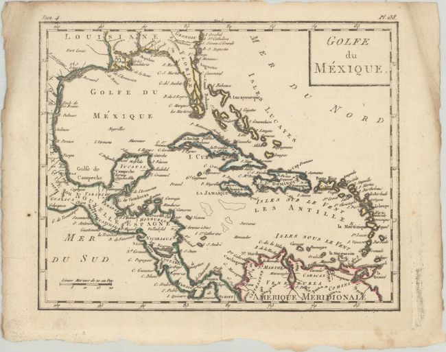
Subject: Gulf of Mexico & Caribbean
Period: 1799 (circa)
Publication: Atlas Moderne Portatif
Color: Hand Color
Size:
8.8 x 7.1 inches
22.4 x 18 cm
This small map covers the Gulf of Mexico and the Caribbean and locates numerous places names, rivers, lakes, and a few mountains. Florida appears more narrow and elongated with the southern tip being an archipelago of islands. There is a surprising amount of detail for its size, particularly along the coastlines. Decorated by a simple block-style title cartouche. Deckled edges.
References:
Condition: B+
Contemporary outline color on a clean sheet with some minor creasing in the blank margins. The impression is a little light in upper portion of the image.