Subject: Montana
Period: 1948 (circa)
Publication:
Color: Printed Color
Size:
36.1 x 22.3 inches
91.7 x 56.6 cm
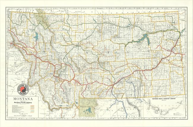
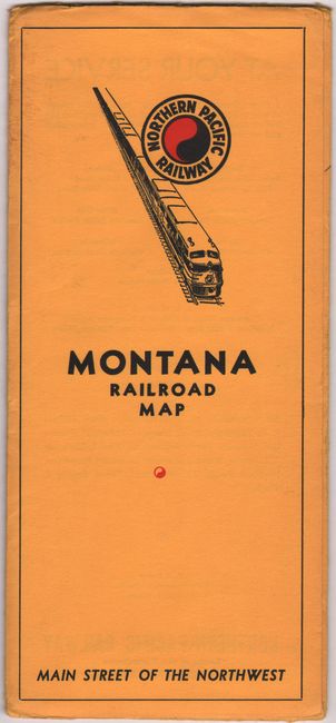
Credited to M.J. Grindhem and published by the Northern Pacific Railway, this map of the state utilizes various colors and lines to identify 11 railroads that pass through the state. These railroads include the Northern Pacific (identified by a bold red line), the Great Northern Railway (bold green line), the Union Pacific (bold tan line), and the United States Government Railroad (black line, narrow and marked). Counties are delineated and several towns and cities named. Glacier National Park appears in the northwest, and map coverage extends to include Yellowstone and Waterton Lakes. An inset map at bottom right traces the various Northern Pacific routes. Index by counties and towns on verso. Tucks into a yellow pictorial envelope (4.5 x 10.0"). Copyright to McGill-Warner Co.
References:
Condition: A
Clean and crisp with a couple tiny separations at the fold junctions. Issued folding. Envelope is torn along its top edge and is faintly dampstained. Name of previous owner written in black ink on map verso and inside envelope.