Catalog Archive
Auction 205, Lot 223
NO RESERVE
"Your Treasure Map... to 'Sea' Florida Keys & Key West for the Vacation Thrill of Your Life!"
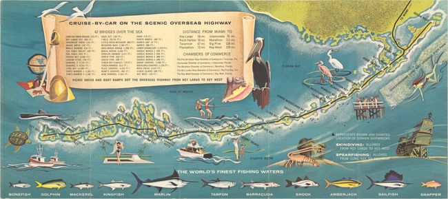
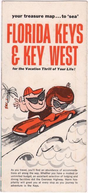
Subject: Florida Keys
Period: 1970 (circa)
Publication:
Color: Printed Color
Size:
19.1 x 8.6 inches
48.5 x 21.8 cm
Download High Resolution Image
(or just click on image to launch the Zoom viewer)
(or just click on image to launch the Zoom viewer)