Subject: Denver, Colorado
Period: 1914 (published)
Publication:
Color: Printed Color
Size:
20.5 x 19.4 inches
52.1 x 49.3 cm
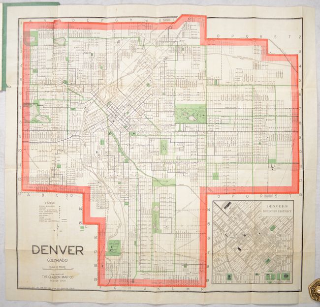
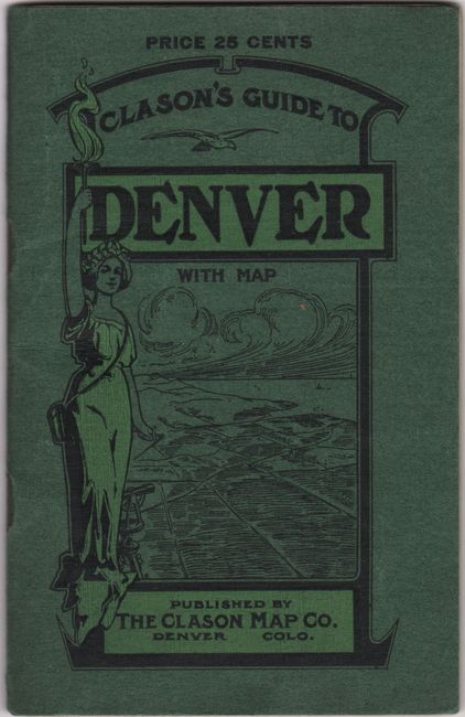
This early 20th century guidebook features a detailed folding map of the "Queen City of the Plains." It highlights major Denver area tourist attractions, street and tramway routes, leading hotels (Denver’s famous Brown Palace Hotel then cost $1.50/day and up), prominent government buildings, churches and schools, and more. The map is accompanied by a comprehensive street index running along the right side along with an inset map of the Denver Business District in the lower right corner. Among the many facts presented on the map, City Park consists of a large area containing, among other things, today’s zoo (then a small area simply marked animal cages with a larger enclosure for elk and buffalo) and an auto raceway loop; a large rectangular area north of City Park that would form the City Park golf course (still operational today); “Lakeside or The White City”, and other similar landmarks. Accompanied by a 32-page guide to the city. Folds into green paper wrappers.
References:
Condition: B+
Issued folding with a 5" fold separation at top left and a 1.25" edge tear at lower right, both of which have been closed with archival tape on verso. There is a hint of offsetting and a few spots of foxing. Covers have minor wear.