Subject: Colorado
Period: 1909 (dated)
Publication:
Color: Printed Color
Size:
23 x 24.1 inches
58.4 x 61.2 cm
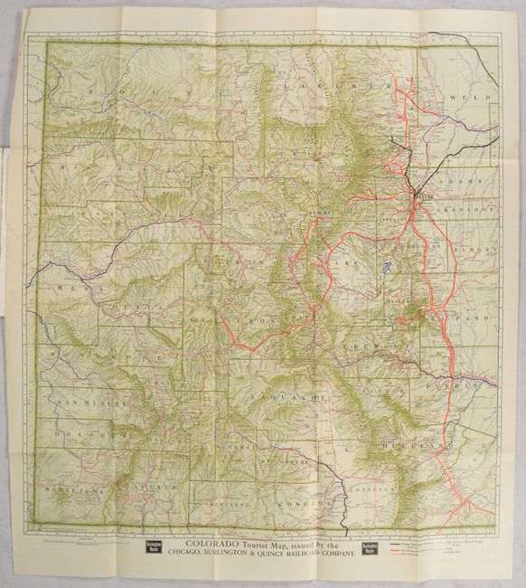
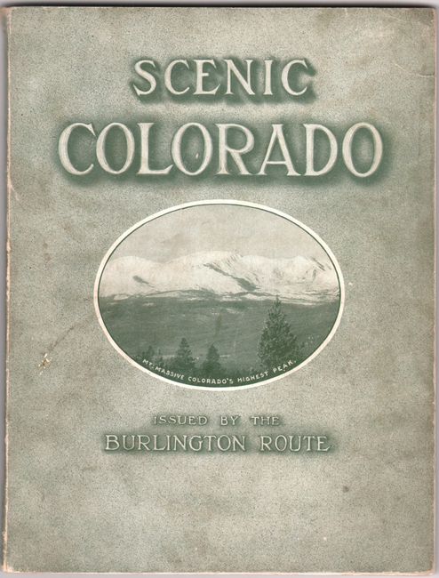
Issued by the Burlington Route Passenger Department, this handsome map lays out the state on a grid and features excellent detail of its topography and transportation routes. The legend at bottom right identifies the routes of the Chicago, Burlington & Quincy Railroad Company (bold black line), the Colorado & Southern Lines (bold red line), and other railroads (thin red line), as well as stage lines, principal wagon roads, and trails. Counties are delineated, and several towns and cities are named. On verso is a list of places that can be located using the map grid. The map folds into the back cover of a 72-page booklet, Scenic Colorado, illustrated with black & white photographs of the state's attractions. Printed by the Matthews-Northrup Works in Buffalo, NY.
References:
Condition: A
The folding map is clean and bright with a few tiny separations at fold intersections and an extraneous crease and short edge tear in the left margin. Booklet covers are lightly soiled, with a couple short tears along spine.