Catalog Archive
Auction 205, Lot 206
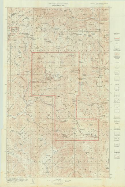
"Department of the Interior Administrative Map - Sequoia and General Grant National Parks California", U.S. Department of Interior

Subject: Sequoia National Park, California
Period: 1909 (dated)
Publication:
Color: Printed Color
Size:
14.8 x 23.6 inches
37.6 x 59.9 cm
Download High Resolution Image
(or just click on image to launch the Zoom viewer)
(or just click on image to launch the Zoom viewer)

