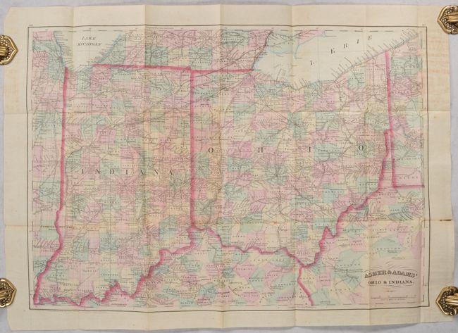
Subject: Ohio & Indiana
Period: 1874 (dated)
Publication:
Color: Hand Color
Size:
22.3 x 15.7 inches
56.6 x 39.9 cm
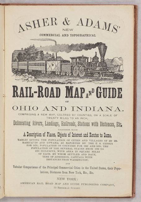
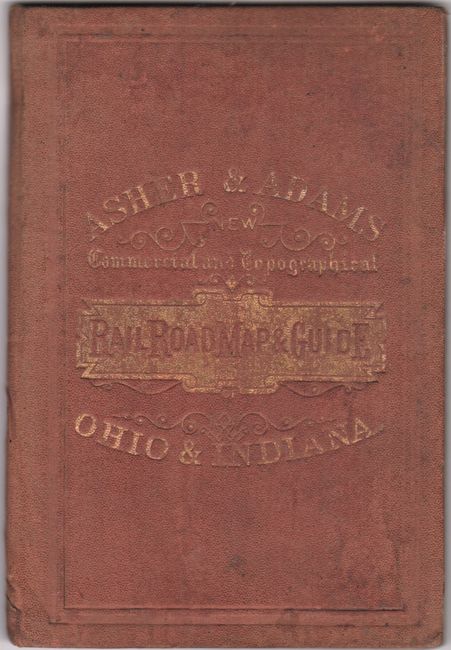
This is the rare pocket map version of Asher & Adams atlas map that is printed on thin, banknote-style paper. It is colored by county and shows the robust railroad network along with cities and towns, rivers, and more. The map extends to include portions of Pennsylvania, West Virginia, Kentucky, Illinois and Michigan. Includes a railroad guide and numerous advertisements intended for the tourist and traveler. Folds into maroon cloth boards with gilt title on the front cover.
References:
Condition: B+
Issued folding with contemporary color and some minor foxing. There are several short fold separations and some minor toning mostly in the upper left and right blank margins. Covers are sunned and lightly worn.