Subject: Maryland & Virginia, Potomac River
Period: 1939 (circa)
Publication:
Color: Black & White
Size:
36.7 x 22.9 inches
93.2 x 58.2 cm
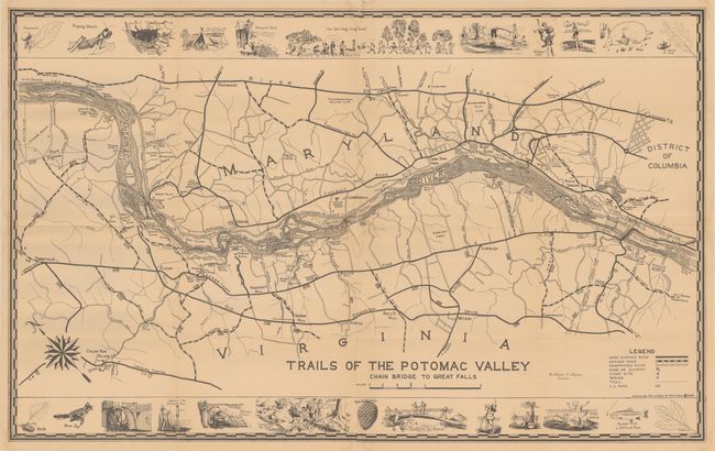
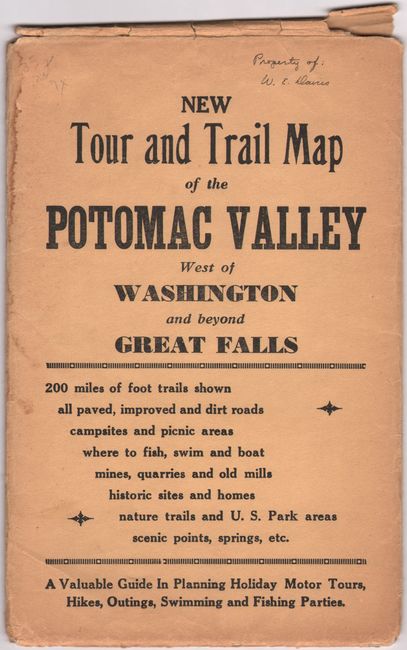
This large pictorial map of the Potomac Valley region of Maryland and Virginia was drawn by Jack Jalickee and Robert Shosteck. It covers the area from Palisades Park west to beyond Great Falls. A legend at bottom right locates hard surface roads, graded roads, mines, camp sites, springs, trails, and more. The trail network is particularly dense in the Great Falls area where numerous islands in the river are depicted. The upper and lower borders feature humorous illustrations of views along the trails including Snake Hollow, Difficult Run, Balcony Trail, Bullneck Run, Prospect Rock and a gold mine. Accompanied by the original printed envelope (6.1 x 9.5").
References:
Condition: B+
Issued folding with several archivally repaired fold separations along the centerfold and a number of tiny splits at the fold junctions. There are a couple of small dampstains at center, minor creasing above the word Maryland, and a previous owner's signature and date in a blank area at lower right. Accompanying envelope is worn with a number of splits along the edges.