Subject: United States
Period: 1920-25 (circa)
Publication:
Color: Black & White
This lot includes two interesting items related to the so-called Burlington Route (the Chicago, Burlington and Quincy Railroad):
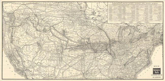
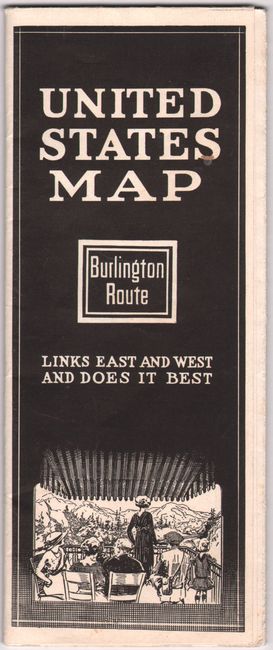
A. Map of the Burlington Route - The National Park Line and Connections, circa 1925 (36.7 x 17.9"). This excellent map shows the reach of the Burlington Route, the railroad that "links east and west and does it best." The route is represented by a bold black line that courses through the Midwest, with connecting lines spreading west and into Canada. A table at top right lists various station agents. On verso there is a smaller map (7.1 x 4.8") emphasizing the route's connection to "the American Wonderland," the Pacific Northwest, as well as black & white photographs and text on destinations such as Yellowstone and Glacier National Park. Published circa 1925, self-folding into pictorial wrappers (4.0 x 9.3"), with the title "United States Map." Condition: Issued folding on a clean bright sheet with a few tiny separations at fold intersections and a small spot by border at left. (A)
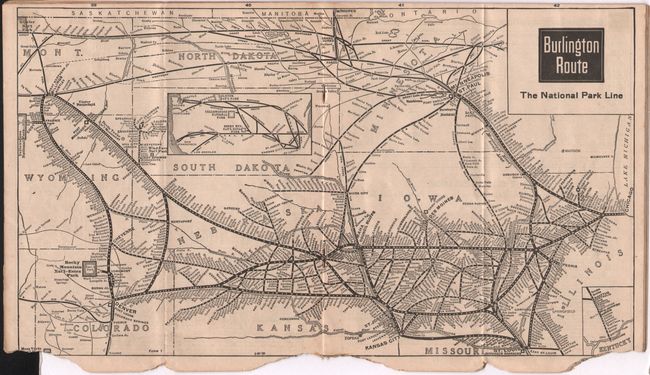
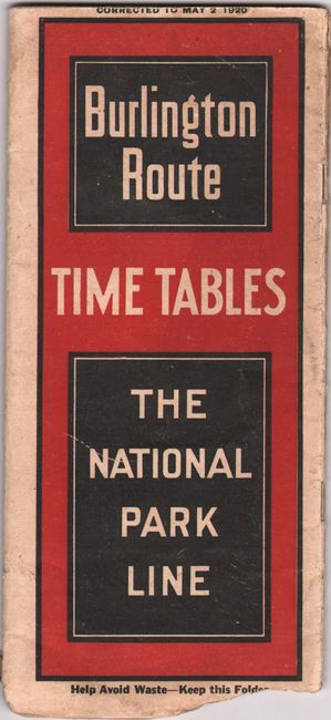
B. Burlington Route - Time Tables - The National Park Line, dated 1920 (4.0 x 9.1"). This folding 39-page booklet includes a station index, time tables for various lines, lists of connecting terminals, and small route maps. The map in the middle of the booklet, Burlington Route - The National Park Line (15.1 x 8.6"), spans from Chicago to Wyoming. Condition: The booklet is chipped along the bottom edge with minor loss of text. There is light dampstaining, minor foxing, and a few short tears in the text. (B)
References:
Condition:
See description above.