Subject: Atlases
Period: 1845 (published)
Publication:
Color: Black & White
Size:
14.6 x 18.4 inches
37.1 x 46.7 cm
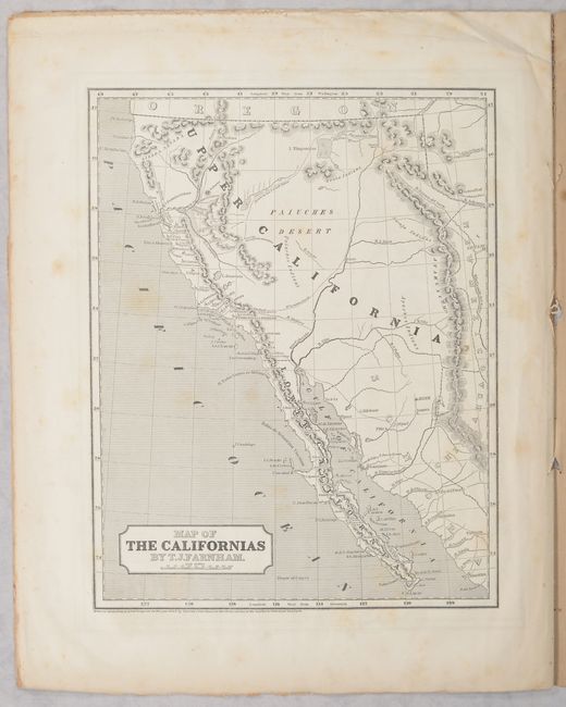
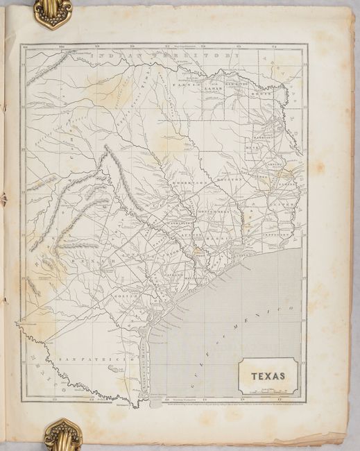
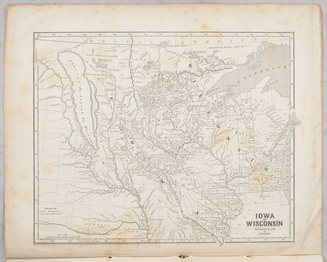
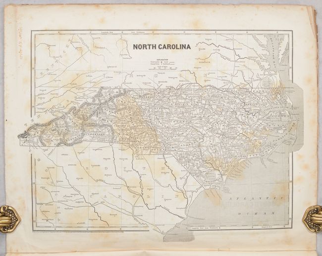
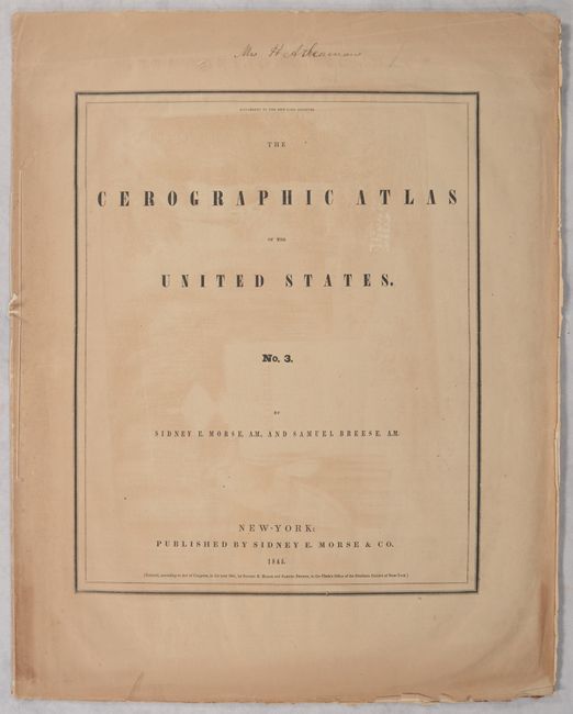
This is the third part of Morse & Breese's Cerographic Atlas, an early example of the wax engraving process, containing 12 maps on 6 sheets. This atlas was issued in subscription format, and readers who obtained all three parts would have a complete set with 32 maps. The 12 maps in this part include: Pennsylvania, Kentucky/Tennessee, Missouri, Arkansas, North Carolina, South Carolina, Indiana, Illinois, Michigan, Iowa/Wisconsin, Texas, and California. Of particular interest is the map of the Republic of Texas dated 1844. It extends north to above the Red River to the Old Wichita Village, and west to the Presidio Rio Grande and the Rio Colorado at about 101° West. The map locates counties, towns and missions, wagon roads, watershed, forts, and many other details. On the verso is Map of the Californias by Thomas J. Farnham dated 1845. It shows Upper California just one year before the Mexican-American War, which resulted in Mexico's loss of the region to the United States. The map locates the pre-gold rush settlement of "Suter's" Colony just east of the southwest flowing Sacramento River with a Volcano nearby which is likely the Marysville Butte. Mount Shasta is here named Mt. Jackson with the Sierra Nevada mountains located between it and the coast. Farnham details an emigrant route that travels up the Arkiansas River to Farnham's Pass then across the country of Brown's Hole, to the Bear River, around the north shore of L. Timpanigos (Great Salt Lake), eventually to the upper San Joaquin and on to the bay at Yerba Buena, today's San Francisco. Beige paper wrappers with advertisements for other Morse maps and school geographies on the rear wrapper. Published as a supplement to the New York Observer. Housed in a protective Mylar sleeve.
References: Ristow, p. 154; Schwartz & Ehrenberg, p. 265; cf. Phillips (Atlases) #1228.
Condition: B
Maps have light foxing and minor toning throughout. Covers are toned with some minor chipping along the edges.